New Milford Colony

Appalachian Trail: Hoyt Road to Bull’s Bridge

Directions

Photos

Trail Map

Appalachian Trail: Hoyt Road to Bull’s Bridge is an 8.5mile trail that starts at the CT/NY border on Hoyt Rd and ends at Bull’s Bridge in Kent, CT.  Climbing over the Ten Mile Hill you will be exposed to great views, then you will travel along the Ten Mile River, and alongside the banks of the Housatonic River.

Distance

8.5mi

Elevation Gain

1,627ft

Route Type

Out & Back

  • Dogs On Leash
  • Hiking
  • River
  • Scenic Views
  • Running
  • Camping
  • Bird Watching
  • Fishing
NEW MILFORD, CT WEATHER

The New Milford Colony is a collection of community experiences, if you have more details to share about this trail contact us.

Find More Trails

Artist Photographer Justin Murphy

Gallery Description New Milford, CT 06776 Hobby Photographer: Justin Murphy A local hobby photographer, captures just stunning moments in time sharing a love for the historic areas of of New Milford CT. Enjoy a birds eye view from the eyes of a local artist photographer.

New Milford Green

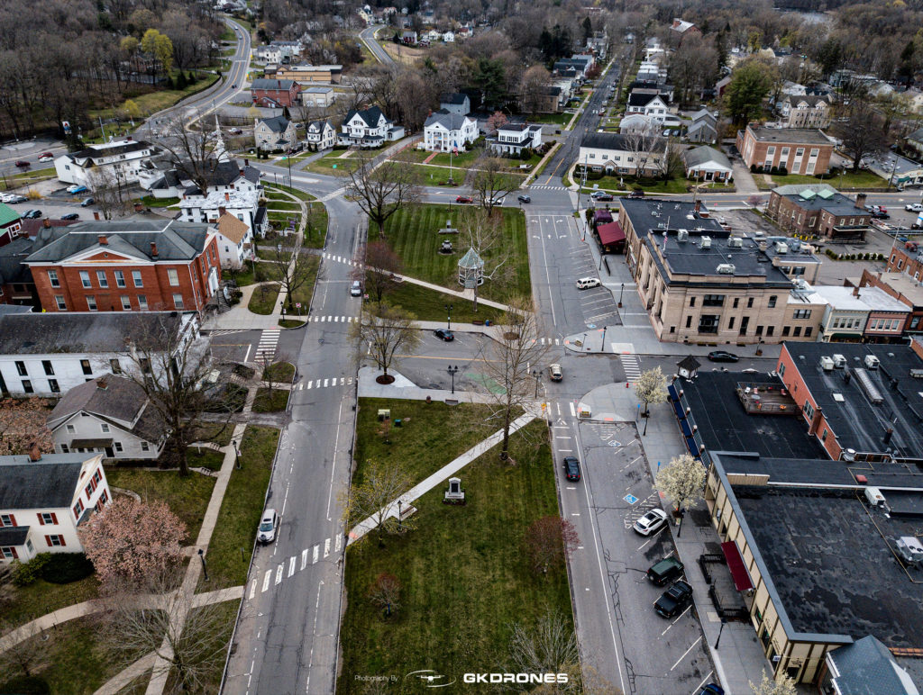
Gallery Description New Milford, CT 06776 The New Milford Town Green The New Milford Town Green is a jeweled necklace that strings the downtown as a treasure for all residents and tourist alike.  Get a coffee and then go for a walk, or take the dogs out and run a couple of laps around the

The Secret Garden

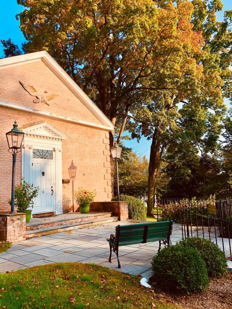
The New Milford Historical Society & Museum Collection The Colonial Garden was installed by the Garden Club of New Milford in 1975, in honor of the country's national Bicentennial Celebration. The remains of an old stone foundation, left from an 1800s outbuilding that once stood here, was the spot picked for the garden installation. Pal

Young’s Field Park

Young's Field Park / Playground. 8 Young's Field Rd, New Milford, CT 06776

New Milford Colony AdminAppalachian Trail: Hoyt Road to Bull’s Bridge

Related Posts